Trail Info:
Total Distance: 10.2 miles roundtrip
Time: 1 day (~6 hours)
Elevation Gain: 2,944 ft
Trails: Ravine Lodge Rd to Gorge Brook Trail
Parking: Ravine Lodge Road, Benton, New Hampshire (Rt 118)
Ratings (winter):


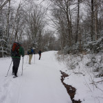
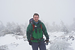
Beautiful winter day, fresh powder coated the ground, scenic trail follows a fairly easy ascent up to the top. We had whiteout conditions and heavy winds at the summit (~45mph), not much of a view for the day, but it was a great adventure!
Gear and Tips:
Dress for the cold, See our winter gear section.
Summary:
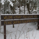
 Mt Moosilauke is the most western of the New Hampshire 4000 footers. We parked at the end of the Ravine Lodge road, just off Rt 118. Typically you can drive this road up to the start of the trailhead, but it’s closed in the winter, adding an extra 1.6 miles to each end of our trip.
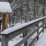
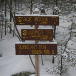
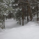
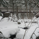
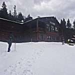
We were the first ones on the trail, with a few inches of fresh powder, we broke trail headed up the Gorge Brook Trail. We reached the moosilauke ravine lodge, which is run by the Dartmouth Outing Club (closed in the winter); where we took a left to head up the Gorge Brook trail. Crossing a few bridges along the hike, we continued our way. A portion of the trail was closed due to water damage, so we took a slight detour on the Snapper Trail. This detour is about ¼ of a mile and is extremely well marked with signs.
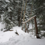
We met back up with the Gorge Brook Trail where we then saw a steady gain in elevation, the trail had switchbacks that helped make the ascent easier. Under the thin layer of soft snow was pure ice, we wore our crampons, the snow wasn’t deep enough to warrant snowshoes.
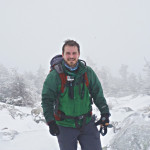
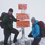
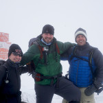
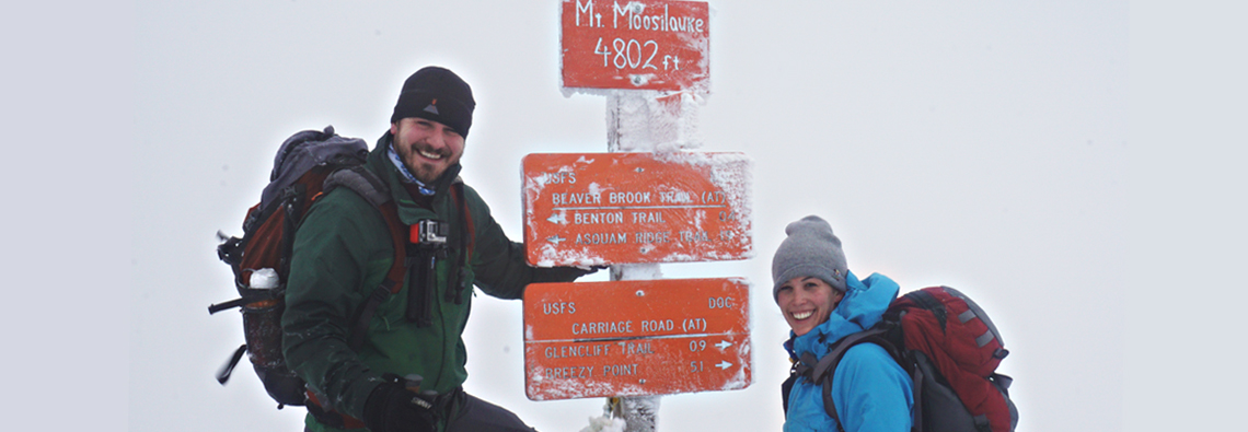
 As we got closer to the top the wind starting to pick-up. The last ¼ mile was completely exposed to the elements as we traversed across towards the summit. Here we experienced whiteout conditions with extreme wind, i’m talking 40-50 mph. Trying not to blow away, we made it to the summit, for a very brief encounter. We admired the scenery covered in white, looked at the different plaques and memorial signs they have mounted to a few rocks, and quickly scurried back down the trail till we were once again protected from the harsh wind.
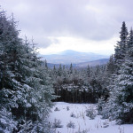
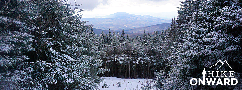
Because the wind was so bad, we made the game time decision to follow the same trail back down the mountain, which had the most wind coverage. The skies opened up a bit on our decent and we got a few nice views along the way down.
We arrived back at the car in a little over 6 hours. This was a great hike and we would be a great beginner hike for someone who is looking to get into hiking. Also if you are into backcountry skiing this is a good mountain for you. We saw a few people skinning up the mountain to ski down.
This peak will challenge you, but doesn’t give you the steep elevation gain like some of the others do.
Video:
Map:
Photos: